KA - Alpine Lakes
| ID | Thumbnail | Year | Description |
|---|---|---|---|
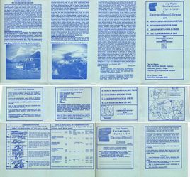
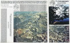
| KA01 | 1976 | Ice Peaks, Enchantments, Alpine Lakes Map packet including 4 maps
The archive does not include a physical copy of this map. These images are scanned from a borrowed copy. | |
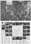
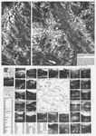
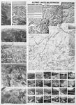
| KA02 | 1977 | Alpine Lakes Wilderness, Snoqualmie Pass to Deception Pass 2 sided 25" x 18" map sheet, flat | |
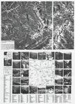
| KA03 | 1978 | Alpine Lakes Wilderness, Deception Pass to Stevens Pass 2 sided 25" x 18" map sheet, flat | |
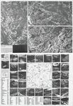
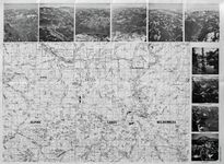
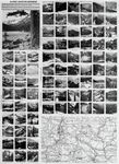
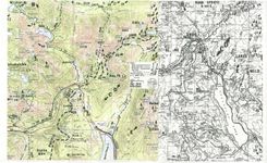
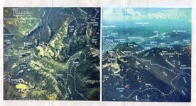
| KA04 | 1980 | Alpine Lakes Wilderness map packet This is possibly the most well known of the Kinzebach map products. It includes 10 large sheets, each with two map quadrangles on the front and aerial photos on the back. There are "North" and "South" supplement pages. In 1985 an Appendix was added to provide a guide for the renumbering of USFS roads that occurred since the original publication. The maps in this packet are listed on a dedicated page because there are 52 images required to cover all the content. | |
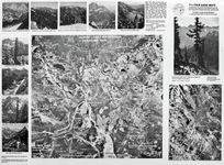
| KA05 | 1981 | Alpine Lakes Wilderness. Alpine Lakes Recreational / Road approach supplement. Wenatchee / Entiat Mtns 2 sided 25" x 18" map sheet, flat | |
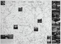
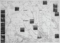
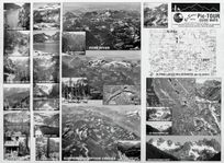
| KA06 | 1986 | Alpine Lakes Wilderness - East. Glacier Peak Wilderness, Pacific Crest Trail from Mt Daniel to Northern Glacier Peak 2 sided 25" x 18" map sheet, folded | |
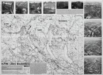
| KA07 | 1988 | Alpine Lakes Wilderness - West. Stampede Pass, Pacific Crest Trail from Snoqualmie Pass to Stevens Pass 2 sided 25" x 18" map sheet, folded | |
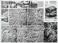
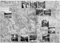
| KA08 | 1989 | Alpine Lakes Wilderness - Enchantment Lakes Area 2 sided 25" x 18" map sheet, flat | |
| KA09 | 1996 | Foss River / Neckace Valley 2 sided 25" x 18" map sheet, flat | |
| KA10 | 1993 | Alpine Lakes Wilderness, Snoqualmie Pass Area The archive does not include a physical copy of this map. These images are scanned from a borrowed copy. |
