ID | Thumbnail | Year | Description |
|---|---|---|---|
| KC01 |
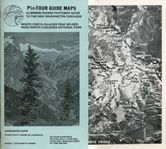
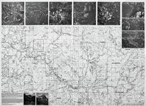
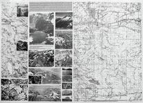
| 1978 | Monte Cristo, Glacier Peak Wilderness, North Cascades National Park 43 page set, half size light blue cover These maps and images are on a dedicated page |
| KC02 |
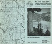
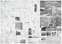
| 1979 | Monte Cristo and vicinity supplement 21 page set, full size light blue cover These maps and images are on a dedicated page |
| KC03 |
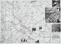
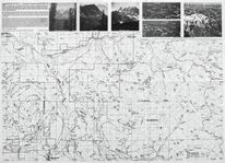
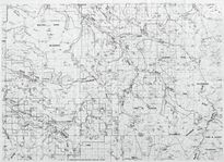
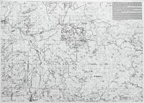
| 1981 | Mountain Loop Highway - Granite Falls to Darrington, Monte Cristo and vicinity 2 sided 25" x 18" map sheet, flat |
| KC04 |
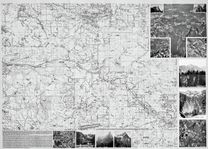
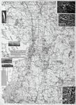
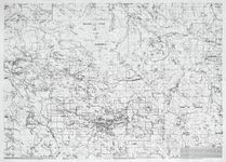
| 1984 | Cascade Mountain Foothills I - Central Puget Sound 2 sided 25" x 18" map sheet, folded |
| KC05 |
| 1987 | Cascade Mountain Foothills II - Southern Puget Sound 2 sided 25" x 18" map sheet, folded |
| KC06 |
| 1988 | Cascade Mountain Foothills III - Northern Puget Sound 2 sided 25" x 18" map sheet, folded |
| KC07 |
| 1988 | Cascade Mountain Foothills III Supplement - Northern Puget Sound 2 sided 25" x 18" map sheet, folded |
| KC08 |
| 1990 | Cascade Mountain Foothills 3A - Northern Puget Sound 2 sided 25" x 18" map sheet, flat |
| KC09 |
| 1990 | Cascade Mountain Foothills 3B - Northern Puget Sound 2 sided 25" x 18" map sheet, folded |
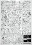
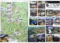
| KC10 | 1985 | Side 1: Wenatchee, Ellensburg, Mission Ridge, Colockum Pass, Wenatchee Mountains Side 2: Teanaway, Blewett, Swauk, Liberty 2 sided 25" x 18" map sheet, flat | |
| KC11 |
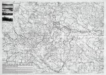
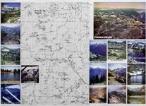
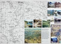
| 1996 | Icicle Creek, Chiwaukum 2 sided 25" x 18" map sheet, flat, color |
| KC12 |
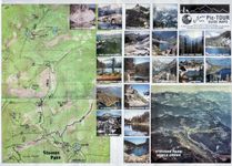
| 1996 | Stevens Pass, Icicle Creek 2 sided 25" x 18" map sheet, folded, color |
Manage space
Manage content
Integrations