...
ID | Thumbnail | Year | Description |
|---|---|---|---|
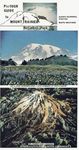
| KS01 |
| 1976 | Mount Rainier National Park Guide Pamplet 8 page guide with perspective maps and photos |
| KS02 |
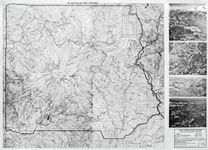
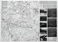
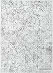
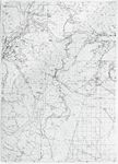
| 1982 | Mount Rainier, Adjoining Cascades, Pacific Crest Trail - Crystal Mtn to White Pass 2 sided 25" x 18" map sheet, flat |
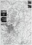
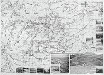
| KS03 | 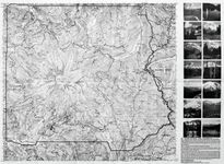 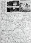 | 1985 | Mt Rainier National Park, Washington. Packwood, Randle -- Eatonville, Elbe, Alder Lake, Ashford Recreational Area. 2 sided 25" x 18" map sheet, folded |
| KS04 |
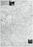
| 1985 | Greenwater, Naches Pass, Access to Mount Rainier National Park, Crystal Mountain 2 sided 25" x 18" map sheet, flat |
| KS05 |
| 1987 | Easton, Cle Elum, Greenwater, Naches, Cliffdell. Updated 09/1991. 2 sided 25" x 18" map sheet, folded |
| KS06 |
| 1989 | Chinook, Naches 2 sided 25" x 18" map sheet, flat |
| KS07 |
| 1988 | Mount Adams, Mount St. Helens 2 sided 25" x 18" map sheet, flat |
| KS08 |
| 1980 | Mount St. Helens Supplement . Washington Cascade (Pacific Crest Trail) SeriesKS091 sided 24.5" x 18" map sheet, flat |
| KS09 |
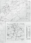
| 1983 | White Pass, Goat Rocks Recreational Area., Cowlitz, Ohanapecosh, Cispus, Tieton and Klickitat Rivers 2 sided 25" x 18" map sheet, flat |
| KS10 |
| 1988 | White Pass, Goat Rocks, Rimrock Lake, Bethel Ridge, Tieton Rec. Area. Side 2 - Klickitat River, Yakima Indian Reservation, Fort Simcoe State Park, Glenwood Rec. Area. Updated 1989 2 sided 25" x 18" map sheet, flat |
| KS11 |
 | 1996 | White Pass, Goat Rocks 2 sided 25" x 18" map sheet, flat |
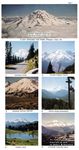
| KS12 |
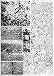
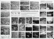
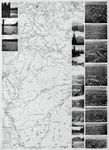
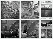
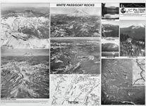
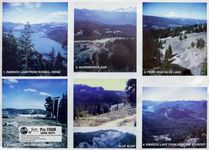
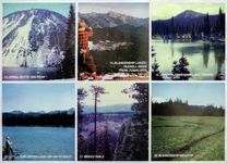
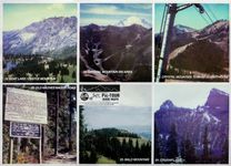
| 1995 | 12 color photos of Darland Mountain, Rimrock, Divide Ridge area 2 sided 25" x 18" map sheet, flat |
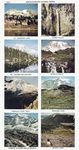
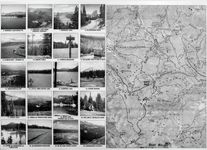
| KS13 |
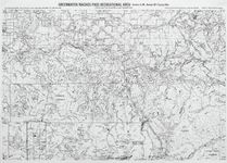
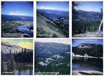
| 1995 | 12 color photos of Spiral Butte, Blankenship Lakes, Meeks Table, Crystal Mountain area 2 sided 25" x 18" map sheet, flat |