...
1959 Washington Mountain Maps by Pete Steele, Big Snow Quad.
| |
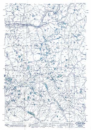
| 1960 Washington Mountain Maps by Pete Steele, Mt Daniel Quad. |
Robert Kinzebach Pic-Tour Guide maps
Robert Kinzebach became hooked on back country hiking during high school in Wenatchee. This lifelong interest was enhanced by the formation of a map business in the 1970s that continued for over 20 years. During this period high quality USGS topo maps were updated infrequently and were relatively expensive. Pic-Tour marketing was primarily by word of mouth, supplemented by advertisements in Pack & Paddle and Signpost magazines, and in the Wenatchee World newspaper. The Mountaineers map collection includes approximately 50 Pic-Tour maps, most of which are those published in the 1980s and 1990s.


